
Neenah ZIP Code Coverage
Official USPS label material pairs 54956 and 54957 with NEENAH WI 54956. The two codes do different work in local records. ZIP 54956 is the main standard street-delivery code associated with Neenah. It also appears on addresses in the nearby Town of Neenah, so it cannot trace the city line. ZIP 54957 appears in city PO Box and mailing addresses. The research found no authoritative ZIP polygon or full historical realignment record, so neither code should be drawn as an exact municipal boundary.
| ZIP | Local coverage | Postal use | Directory note |
|---|---|---|---|
| 54956 | City of Neenah plus nearby-area addresses, including Town of Neenah use | Principal street delivery | Does not prove an address is inside city limits |
| 54957 | Neenah mailing destinations | PO Box context | May differ from the property's situs ZIP |
This ZIP code directory therefore has two verified rows, not a made-up neighborhood list. USPS did not expose the current boundary geometry or station classification in the rendered source. Use its live address tool for delivery validation. Use GIS for city membership. That distinction is more useful than assigning neighborhood names to postal zones without support.
Neenah's Two-ZIP Address Test
City Hall makes the local split easy to see. Its physical address is 211 Walnut Street, Neenah, WI 54956. Its mail can go to PO Box 426, Neenah, WI 54957-0426. A city property sample follows the same pattern: the situs is 1450 Oakridge Road, while the mailing field is PO Box 799, Neenah, WI 54957-0799. Situs means the actual property location. Mailing means the destination used for correspondence.
Neither example says that all Neenah boxes use the same pattern, but both show why a ZIP code directory must keep two address fields. A tax bill, deed return address, and permit can also name different people or entities. Preserve the source label. Calling a mailing recipient an occupant, or attaching a box ZIP to the physical parcel, turns accurate fields into a false claim.
Local key. Treat 54956 as a street-delivery lead and 54957 as a mailing clue, then verify each complete address in the proper system.
Validate a Neenah ZIP Code
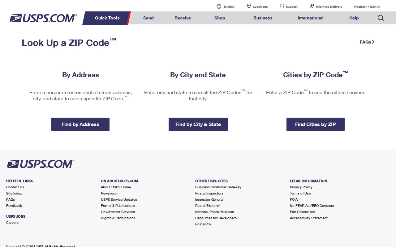
The USPS ZIP Code Lookup is the official place to test a complete mailing address and retrieve the delivery ZIP or ZIP+4. The form is useful for normalization, which means putting a mailing address into the postal format used for delivery. Its dynamic controls were not visible in the research capture, so no unsupported field list is presented here. Enter the full address in the live tool and keep the result date.
The captured USPS lookup page shows the postal source assigned to this Neenah ZIP code directory.
A successful postal match confirms how mail is routed. It does not confirm occupancy, ownership, ward, tax district, or city jurisdiction. Those questions move to the parcel and municipal records after the mailing code is known.
Find Neenah Residents by ZIP
No official county resident database accepts a ZIP and returns everyone in it. The Winnebago County Assessor search uses PIN components, street location fields, or owner first and last name, but no ZIP filter was observed. Ascent Land Records accepts owner name, street number and street name, or mailing address. The County Parcel Viewer accepts PIN, owner, address, certified survey map, subdivision, or municipality. These are narrower and more reliable routes than claiming a ZIP-wide roll exists.
- Validate the full mailing address with USPS, saving ZIP+4 separately when returned.
- Search the Winnebago County Parcel Viewer by address and inspect the municipality, PIN, site address, and profile links.
- For a parcel inside Neenah, compare the city assessment record, since the county warns that current city ownership should be checked with the municipality.
- If the task concerns voter geography, use the proper ward or municipality filter, respecting protected elector data. Do not substitute a ZIP.
Once the search narrows to a road, the Neenah street directory workflow explains address, parcel, and deed links without pretending that every postal customer is a city resident.
Neenah ZIP Verification Fields
A strong ZIP code directory result is a small evidence card, not a list of names. Store each field under its official label and date. The ZIP answers delivery. The parcel PIN answers land identity. Municipality answers which local government holds city or town records. Situs and mailing addresses must remain apart. This format also makes boundary changes visible when a later record does not match an earlier one.
| Field | Source | What it answers |
|---|---|---|
| ZIP or ZIP+4 | USPS address lookup | How mail is routed for that full address |
| PIN or tax key | County Parcel Viewer or city assessment | Which parcel the address identifies |
| Municipality | Parcel profile and GIS boundary | City, town, or village jurisdiction |
| Situs address | Assessment record | The physical property location |
| Mailing address | Assessment or tax record | Where correspondence is sent |
| Effective or access date | Each live portal | When the displayed fact was current |
The City of Neenah GIS download page also publishes parcel, municipal-boundary, right-of-way, water, and street-centerline data. Those files use a stated Wisconsin coordinate reference system. They are suitable for careful geographic work, but a person search should normally stay with the public viewer and record page rather than create a new bulk map.
Neenah ZIPs and City Limits
A postal city is a label used to deliver mail. It is not the legal municipality. The Town of Neenah borders the City of Neenah, Fox Crossing, Clayton, and Vinland, and it uses Neenah, WI 54956. A result bearing that city and ZIP may therefore sit outside the incorporated City of Neenah. Look for municipality on the parcel profile before choosing a clerk, assessor, voting office, or other custodian.
Boundary status can also change while the familiar postal address stays put. Recent city ordinances document annexations around Liberty Avenue, Bayview Road, and Dixie Road. For an edge parcel, save the ordinance number and date, legal description, parcel lineage, and map access date. No complete local history of street renumbering or ZIP realignment was found, so an old address must be checked one property at a time through ordinances, plats, directories, and maps.
Note: USPS verifies delivery, while City and County GIS identify the government geography that controls local property and civic records.
Reading Neenah Postal Terms
Postal terms describe delivery tools at different scales. They should not be treated as resident categories. The research did not identify a Neenah unique ZIP or publish local carrier-route boundaries. Those terms are defined because they may appear in postal output, not because either has been verified as a separate resident zone here.
- ZIP code
- A five-digit USPS delivery code. It is not a city boundary.
- ZIP+4
- The five-digit code plus four digits that narrow delivery to a segment, building, box group, or similar unit.
- PO-box ZIP
- A code or local use associated with mail received at Post Office boxes rather than street delivery.
- Unique ZIP
- A code assigned to one high-volume organization. None was verified for Neenah in the research.
- Carrier route
- A group of delivery addresses served on a postal route, not a parcel or ward line.
Use the least broad claim each term supports. ZIP+4 may validate one destination more precisely, but it still says nothing about who occupies a home. A carrier route may help USPS deliver mail, but it is not a public roster. That restraint keeps ZIP-based searches useful and safe.
Neenah Records Beyond ZIP Codes
The City GIS map menu includes parcel, alderman, polling, Sanborn, aerial, zoning, tax-increment, future-land-use, boundary-agreement, and lead-service maps. Each layer answers its own question. A ward locates election geography. An assessment neighborhood groups property for valuation context. A zoning layer shows land-use rules. None is interchangeable with 54956 or proof that a named person resides there.
This is especially important for Badger Voters requests. That portal offers county, municipality, aldermanic, ward, legislative, court, school, and other geographic filters, and it charges for file requests. Wisconsin does not track party affiliation. Protected dates of birth, identification data, confidential-elector addresses, and accommodations must not be published. When a civic question calls for a ward, request the ward. Do not use a ZIP as a rough substitute.
Neenah's official 2025 Neighborhood Group Map adds another layer with labels such as Central Neenah, Doty Island, Residential Waterfront, and Woodside Green. These are assessment group names, not verified voluntary associations. A ZIP code directory should never convert a map label into a claim that a resident joined a neighborhood group.
Limits of a Neenah ZIP Lookup
ZIP searching is good for validating a delivery address and choosing the next geographic check. It cannot establish current residence, title ownership, city membership, ward, tax district, school district, or who lives nearby. The strongest sequence is broad postal check, narrow parcel match, then the official source for the specific record type. Keep the postal result and parcel result separate even when they agree.
Do not reverse-map substitute addresses used by Wisconsin Safe at Home participants or confidential electors. If a portal withholds an address, preserve the privacy status and stop. Do not infer an address from nearby parcels, ZIP+4, ward, or carrier-route data. The same rule protects any person whose public record does not need to be republished for the lawful task at hand.
Boundary rule. A Neenah ZIP code is a mail clue, not evidence of city residence. Confirm the municipality and parcel before making a local-record claim.